Intrinsicly evisculate emerging cutting edge scenarios redefine future-proof e-markets demand line

GALLERY POSTS

OFFICE MAPS

Project Details

Riverwalk Visual Design & Renderings

3D Site Renderings & Drone Flythrough for Public Park Project

Verge Civil Engineering produced high‑end visualizations and public engagement materials for a proposed 2‑mile riverwalk and civic plaza project along the downtown riverfront. The city needed compelling visuals to secure grant funding and build public support. Zachary’s team leveraged civil design models to create accurate, photorealistic renderings that reflected real engineering constraints.

  • START: 2023
  • START: 2024
  • TAG: Planning / Visualization
BUDGET PRICE $48,000

The Challenge of Projects

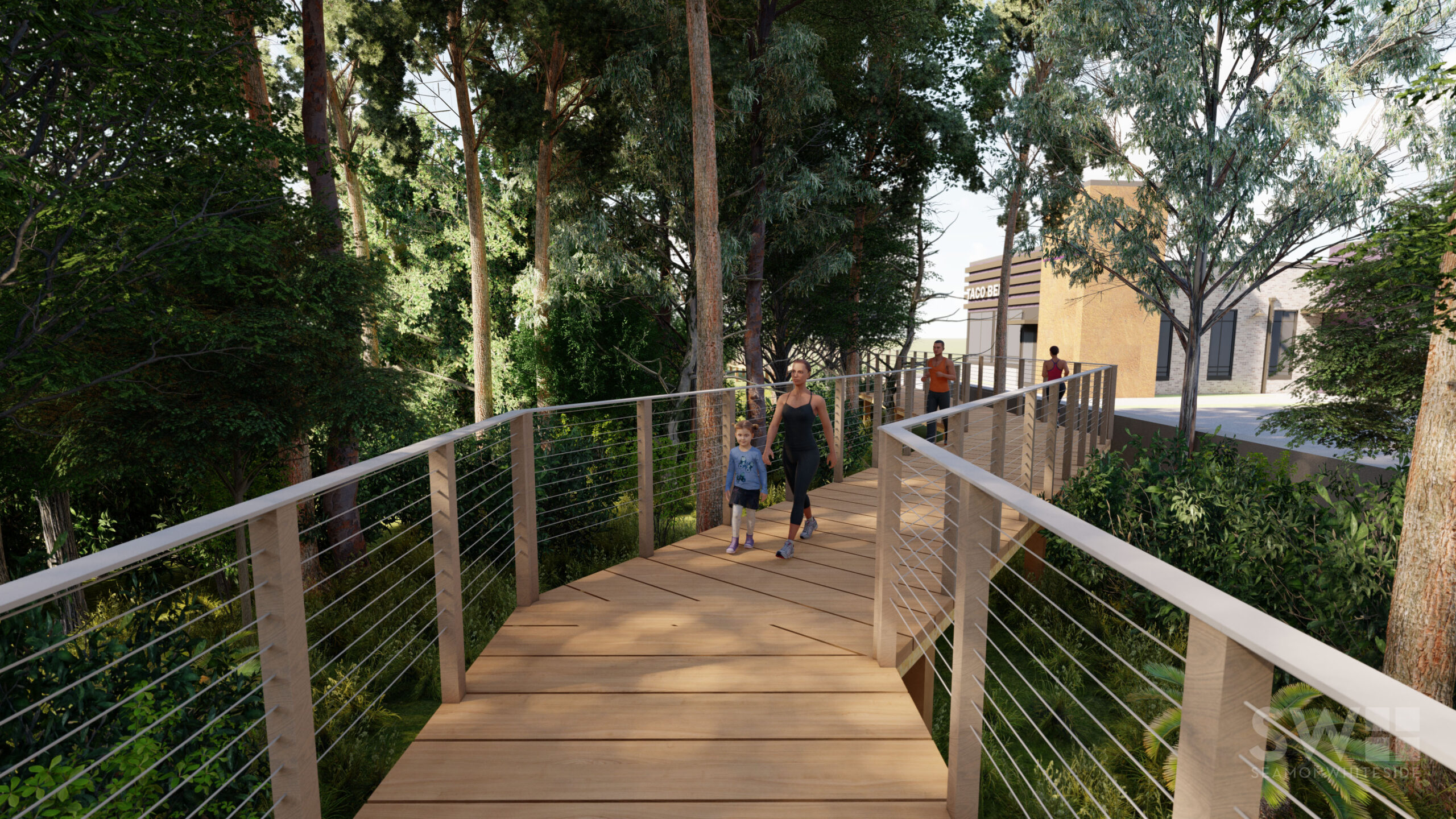
The proposed alignment included multiple elevation changes, retaining walls, floodplain crossings, and a pedestrian bridge – all of which were difficult to explain with traditional 2D plans. The public had historically opposed previous riverfront projects due to concerns about flood risk and loss of green space. The city also required materials suitable for both city council presentations and a public website.

Project Requirements

  • Verge delivered a package including 3D terrain modeling from LiDAR data.
  • 12 photorealistic renderings from key pedestrian viewpoints.
  • Animated 90‑second drone‑style flythrough video.
  • Interactive PDF site plans with clickable feature callouts.
  • All materials were calibrated to show accurate flood elevations and proposed landscaping.

Project Results

The city council approved the project unanimously after viewing the flythrough video, with several members stating the visuals finally made the design understandable. The project received a $2.5 million state grant partially attributed to the quality of the visualization package. Public feedback shifted from opposition to support, with 78% of surveyed residents backing the plan.